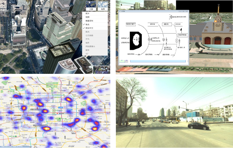
Nowadays, geospatial technologies have enhanced broad, multi-purpose business systems and applications. Location accuracy will not only help first responder save lives, but also underpin economic activities of all kinds, such as infrastructure management, city planning and zoning, agricultural and forestry management.
We provide geographical services ranging from geospatial data colleting, map making, image processing, records updating, to diverse customized downstream applications.
Our GIS solution enables data to be published with rich functional capabilities via web services, browsers, smart clients, and apps, or integrated with other technologies. It also provides insight and analytical capabilities to support zoning, applications collection and assessment, public engagement, governance, and policy monitoring and enforcement.